
Combe Gibbet
Paragliding site · United Kingdom
- Launch altitude
- 220 m
- Level
- Intermediate+
- Best season
- 2 February to 31 August (site is closed 1 September to 1 February for pheasant season)
- Landing
- —
Works on N · NW
Photos
Shared by OutDare pilots
Where it is
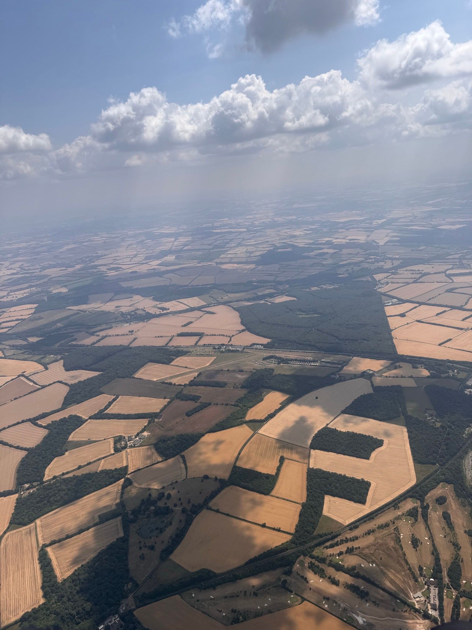
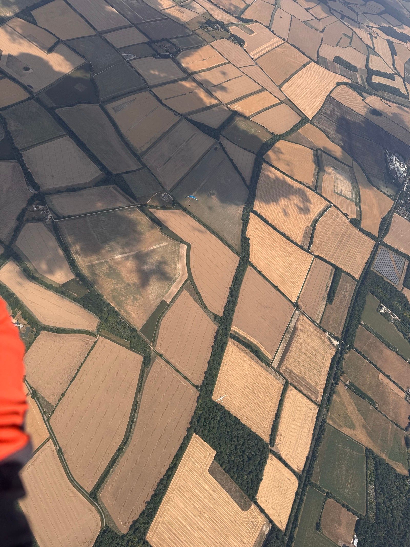
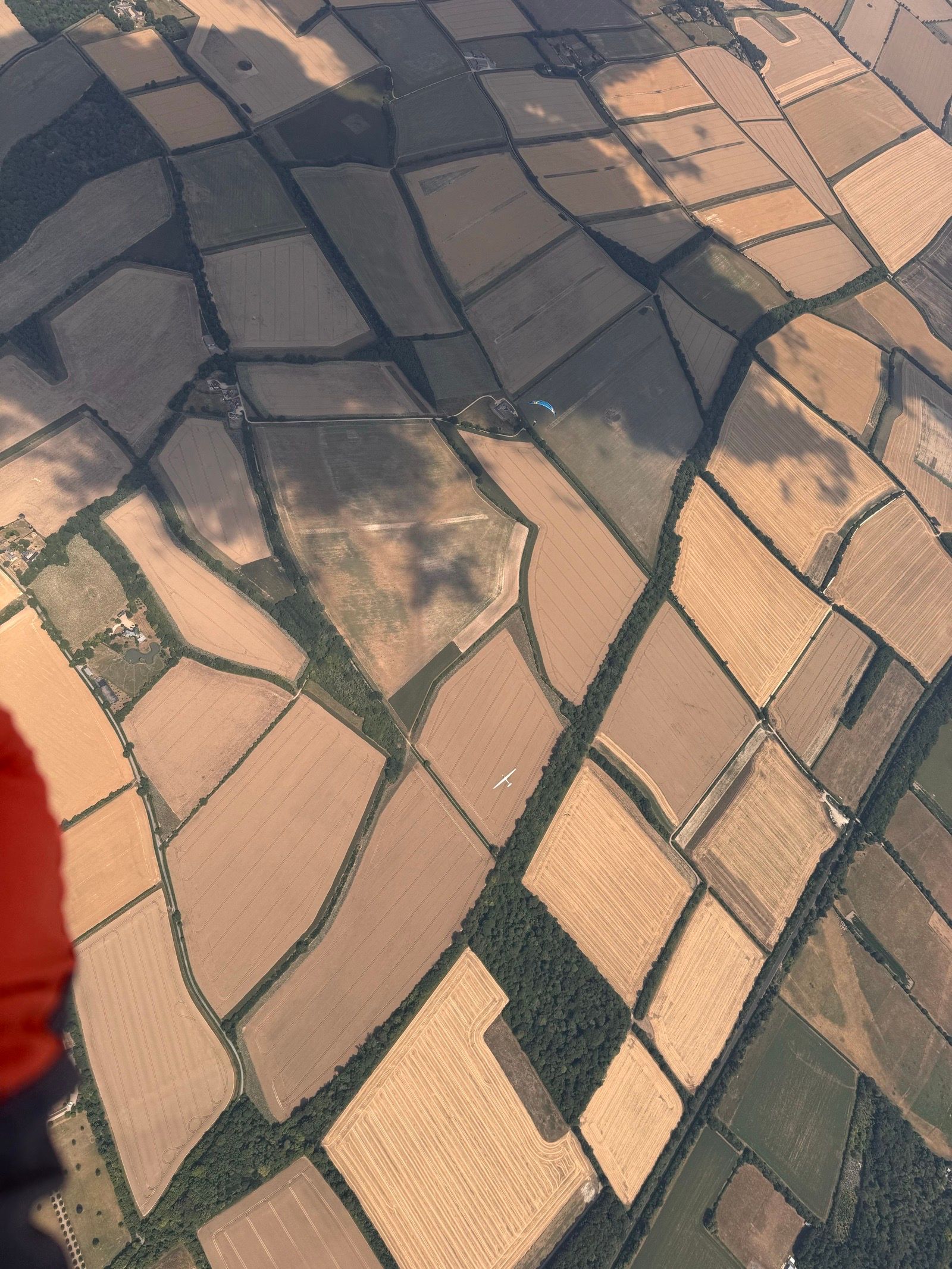
Combe Gibbet is a chalk-hill soaring and thermic site on the Berkshire-Hampshire border, unmistakable for the wooden gibbet on the ridge crest. The 220 m grass launch works on north through northwest flow and can get very busy on summer weekends. Site access is restricted to club members (full, reciprocal or guest) under the landowner agreement, and the site is CLOSED from 1 September to 1 February every year for pheasant rearing and shooting — flying outside those dates puts the site at risk. Thermals stream off in three reliable spots: the nose directly in front of the gibbet, the nose to the west, and where the take-off field meets the old woodland further west. Leaving the hill, follow the two spurs either side of the valley rather than flying over the villages of Combe and Faccombe. In north or northwest wind, an XC line toward east Andover often finds thermals over the woods south of Hurstbourne Tarrant.
Launch & conditions
Hang-gliders take off on the lip of the hill in front of the gibbet; paragliders 100 m to the west. Rig at the top but launch paragliders at the 'break' in the slope to avoid being pulled onto the fence. Note the areas being used for take-off on the day and avoid overflying them. The site becomes rough in any wind east of north — flyable in those conditions only by very experienced pilots with the pilot rating. Rotor is reliably found within 100 m of the trees beyond the west end — do not ridge soar there.
Getting there & local rules
From Hungerford on the A4, drive toward and through Inkpen. As you leave the village the hill is directly in front. The road goes to the top; the last section is gravel. Park on the gravel near the gibbet — the wooden pole with the horizontal bar. Bottom-landing pilots should note the trees, slope of the field (especially in NW), proximity of the road, hedges, wires and other pilots. First pilot on the hill for the season turns the sign on the gate to open.
Check conditions before you fly
A forecast for the valley is not a forecast for the launch. Before heading to Combe Gibbet, read the wind and thermals for the site itself, confirm the day's rules with the local club, and remember the standing rule — when in doubt, don't launch. In the free OutDare app you can open Combe Gibbet with a 7-day forecast built from high-resolution weather models, see who else has been flying, and get there with offline maps.
Conditions right now
Live — the same sources the OutDare app uses
Loading live conditions…
Is it usually flyable? The 12-month record
In a typical 12–35 km/h wind range, Combe Gibbet offered a flyable window on 47 of 365 days (13%) over the last 12 months. Best month: July (32%).
| January10%3/31 | February11%3/28 | March19%6/31 | April13%4/30 | May19%6/31 | June0%0/30 |
| July32%10/31 | August13%4/31 | September10%3/30 | October6%2/31 | November17%5/30 | December3%1/31 |
A day counts as flyable when the surface wind held in your range, from a direction the site flies, with no rain, for at least 2 hours in a row (08:00–20:00) — from hourly 10 m wind over the last 12 months. A seasonal wind guide only: it can't judge gusts, thermals or turbulence, and never replaces the live forecast, airspace checks and your own judgement.
Is it usually flyable?
Set your wing's wind range once — the live 7-day outlook and the last 12 months both answer for Combe Gibbet.
Surface wind (10 m) in km/h — the same number you read on any forecast.
The 7-day outlook and the 12-month history below both update to your range.
7-day wind outlook
High-resolution models — the same OutDare uses.
Loading the forecast…
Over the last 12 months
13% of days flyable
47 of 365 days had a dry 2-hour+ window in your range, from a direction this site flies
Best month
Jul · 32%
Flyable days by month
A day counts as flyable when the surface wind held in your range, from a direction the site flies, with no rain, for at least 2 hours in a row (08:00–20:00) — from hourly 10 m wind over the last 12 months. A seasonal wind guide only: it can't judge gusts, thermals or turbulence, and never replaces the live forecast, airspace checks and your own judgement.
Nearby flying sites
Site facts from the OutDare flying-site database. Always verify current access and regulations with the local club before flying.