
Kuala Kubu Bharu
Paragliding site · Malaysia
- Launch altitude
- 426 m
- Level
- All levels
- Best season
- —
- Landing
- —
Works on S · SW · W
Photos
Shared by OutDare pilots
Where it is
Saved by 17 pilots
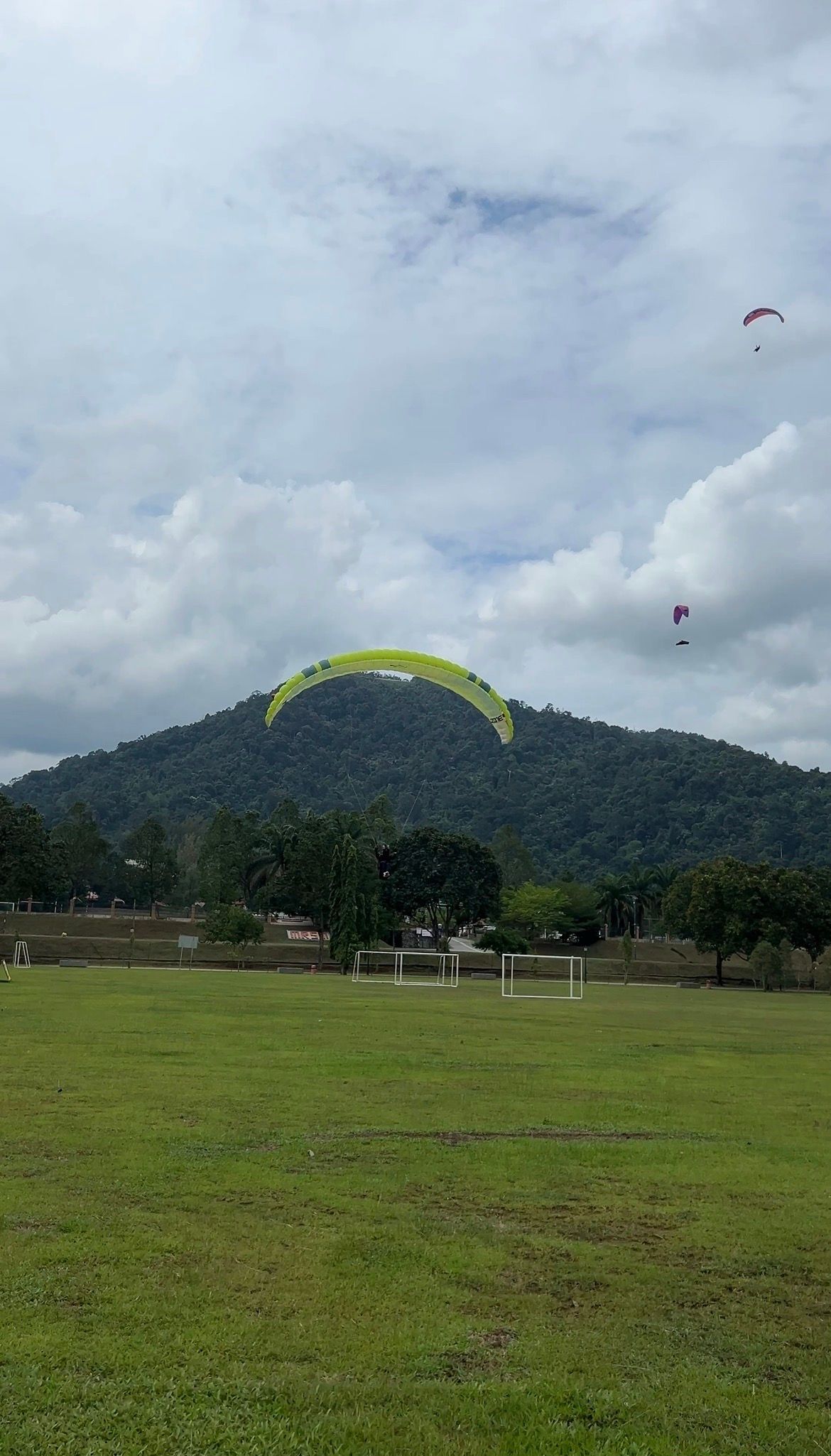
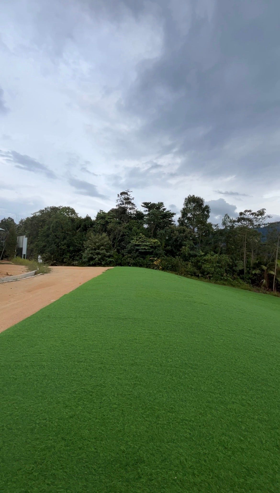
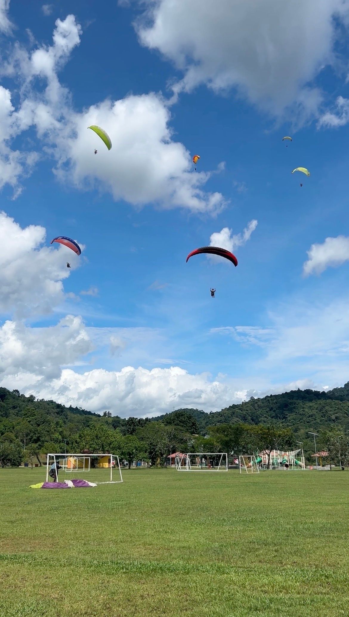
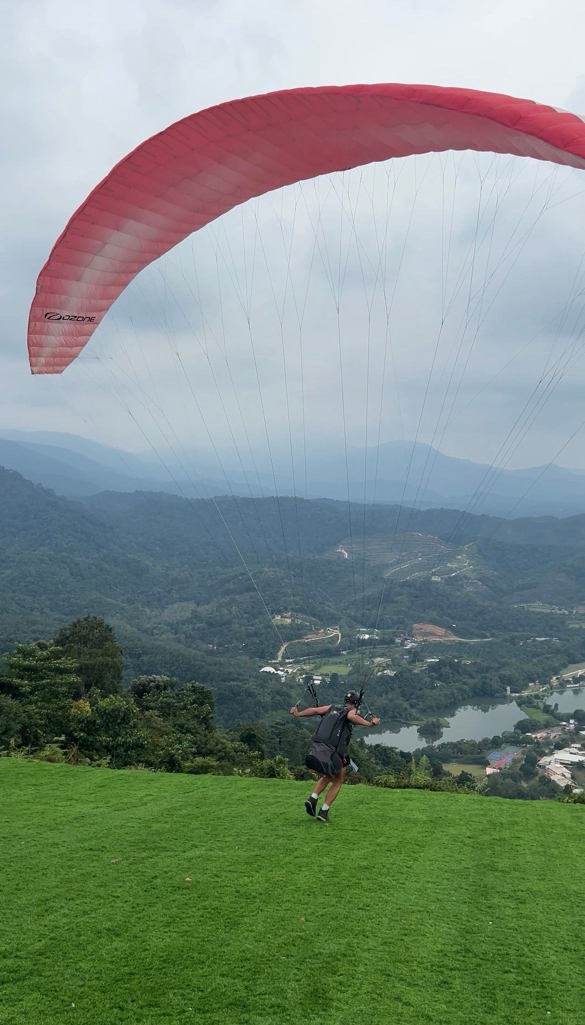
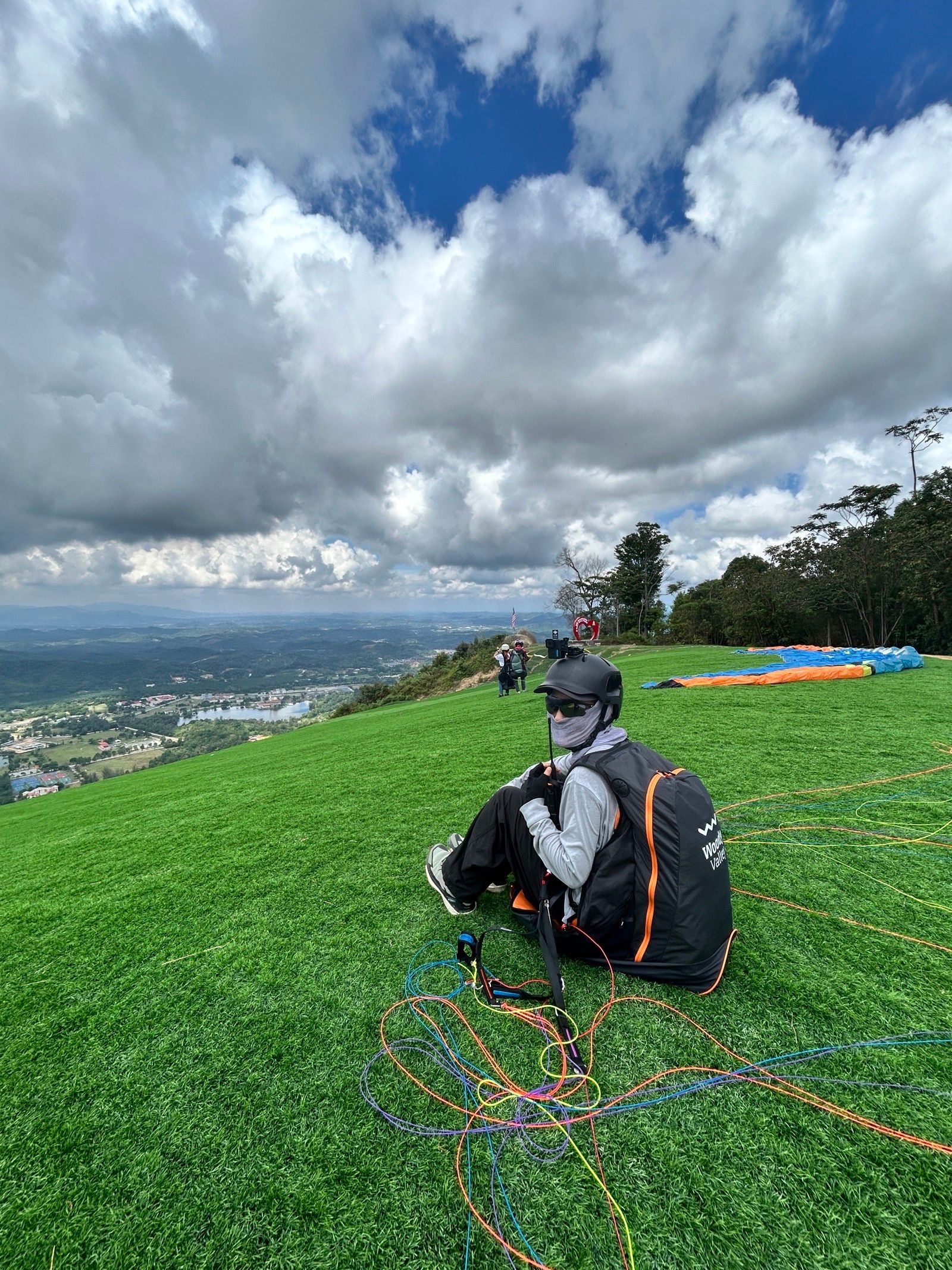
Kuala Kubu Bharu (KKB) is Malaysia's most active flying site, about an hour north of Kuala Lumpur near the Ampang Pecah area. The take-off sits at approximately 1,400 ft ASL (about 426 m) facing S and SW, accessible by 4×4 from the LZ. Plenty of room for about 30 pilots to gather with roughly three gliders on the setup area. There's usually strong lift on launch, with easy climbs to 2,000–3,000 ft ASL before the glide back to the LZ. The designated LZ is an open stadium 1.8 km straight-line from take-off at about 120 ft ASL — around 10 minutes without thermals. Plenty of bomb-out options at nearby football fields or grass areas next to the ponds and river. The site is now open to the public, managed by the local council in partnership with the local clubs.
Launch & conditions
Set-up area holds about three gliders at a time with room for 30 pilots to gather behind. Strong lift on launch normally allows an easy climb to 2,000–3,000 ft ASL. From take-off, the LZ is 1.8 km line-of-sight — about a 10-minute glide without thermals. Bomb-out options are plentiful at nearby football fields and grass strips by the ponds and river.
Getting there & local rules
By car from Kuala Lumpur (about 1 hour): take the PLUS highway north, exit at Kuala Kubu Bharu, then 36 km on ordinary roads to the Ampang Pecah area. Follow signboards for IKBN, PLKN, MRSM or the White Water Rafting activity area. By train from KL Sentral, take the train to Rawang and change for the onward service. The access gate to the launch area is closed on weekdays — the site caretaker holds the key. On weekends, pilots are usually on-site.
Check conditions before you fly
A forecast for the valley is not a forecast for the launch. Before heading to Kuala Kubu Bharu, read the wind and thermals for the site itself, confirm the day's rules with the local club, and remember the standing rule — when in doubt, don't launch. In the free OutDare app you can open Kuala Kubu Bharu with a 7-day forecast built from high-resolution weather models, see who else has been flying, and get there with offline maps.
Conditions right now
Live — the same sources the OutDare app uses
Loading live conditions…
Is it usually flyable? The 12-month record
In a typical 12–35 km/h wind range, Kuala Kubu Bharu offered a flyable window on 23 of 365 days (6%) over the last 12 months. Best month: October (19%).
| January3%1/31 | February0%0/28 | March3%1/31 | April0%0/30 | May6%2/31 | June0%0/30 |
| July3%1/31 | August13%4/31 | September17%5/30 | October19%6/31 | November10%3/30 | December0%0/31 |
A day counts as flyable when the surface wind held in your range, from a direction the site flies, with no rain, for at least 2 hours in a row (08:00–20:00) — from hourly 10 m wind over the last 12 months. A seasonal wind guide only: it can't judge gusts, thermals or turbulence, and never replaces the live forecast, airspace checks and your own judgement.
Is it usually flyable?
Set your wing's wind range once — the live 7-day outlook and the last 12 months both answer for Kuala Kubu Bharu.
Surface wind (10 m) in km/h — the same number you read on any forecast.
The 7-day outlook and the 12-month history below both update to your range.
Local pilots fly this site in 5–30 km/h
7-day wind outlook
High-resolution models — the same OutDare uses.
Loading the forecast…
Over the last 12 months
53% of days flyable
192 of 365 days had a dry 2-hour+ window in your range, from a direction this site flies
Best month
Sep · 97%
Flyable days by month
A day counts as flyable when the surface wind held in your range, from a direction the site flies, with no rain, for at least 2 hours in a row (08:00–20:00) — from hourly 10 m wind over the last 12 months. A seasonal wind guide only: it can't judge gusts, thermals or turbulence, and never replaces the live forecast, airspace checks and your own judgement.
Flying activity
Real flights logged by OutDare pilots
18 flights
3 pilots · 18 in the last year
- Longest flight
- 20 km
- Longest airtime
- 42min
- Max altitude
- 895 m
- Most climb
- +803 m
Flights by month
Nearby flying sites
Site facts from the OutDare flying-site database. Always verify current access and regulations with the local club before flying.